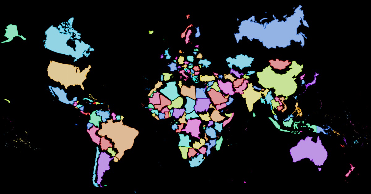
It is hard to represent our spherical world on flat piece of paper. Cartographers use something called a ‘projection’ (like the Mercator projection) to morph the globe into 2D maps. However, every map projection introduces distortion, and each has its own set of problems (e.g. the Mercator map exaggerates the size of countries nearer the poles, while downplaying the size of those near the equator). This map was created using thetruesize.com to give you an idea how big countries actually are (click to enlarge).
